Sizzling Skies and Southerly Shifts: Albury's Mid-Week Temperature Spike
Mid-Week Heat Hits the Border City
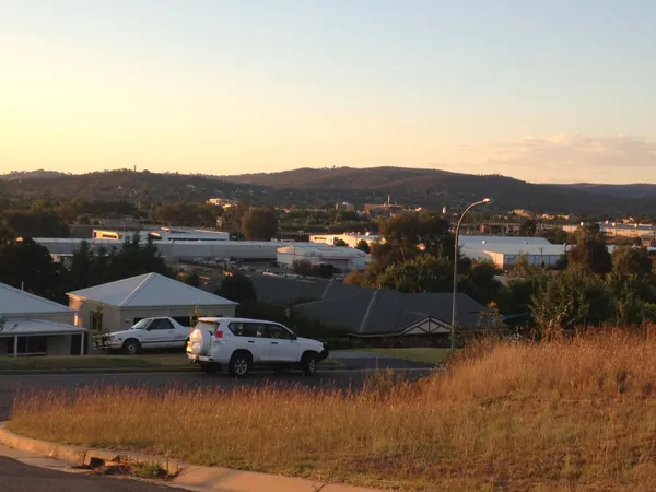
Albury residents are advised to prepare for a significant temperature spike today, Wednesday, 11 March 2026. After a relatively stable start to the week, the mercury is expected to climb to a peak of 35°C, making it one of the warmest days of the month. The Bureau of Meteorology has indicated that while the day will begin with mostly sunny conditions, a notable shift in wind patterns during the afternoon will be the defining feature of today's weather story. This sudden rise in temperature marks a brief but intense heat peak for the region before cooler air arrives later in the week.
A Bright and Warm Morning
The day began with a warm overnight low of 19°C, and the temperature is set to rise rapidly throughout the morning hours. By 10:00 AM, conditions will already feel quite warm under mostly clear, bright skies. For those planning outdoor activities, morning markets, or exercise along the Murray River, the earlier hours are certainly the most favorable. The heat intensity will build sharply toward midday, and with the sun out in full force, there will be very little relief provided by cloud cover. Morning winds are expected to remain fairly consistent, blowing from the north to northeast at speeds between 20 and 30 km/h.
Afternoon Peak and Changing Winds
As the city reaches its maximum forecast temperature of 35°C in the mid-afternoon, the wind behavior will undergo a significant transition. Residents should expect a shift as the initial northerly breeze turns toward the west or southwest, increasing in strength to between 25 and 35 km/h. While this shift often brings a cooler air mass, it may initially bring gusty conditions and potentially some dust to the Riverina before any real cooling is felt in the late evening. Despite the increased wind activity and the arrival of some scattered clouds, there is only a minimal 10% chance of any precipitation, meaning the region will remain dry throughout this transition.
Evening Outlook and Essential Safety Reminders
As the sun sets, the temperature will begin a slow descent, eventually reaching a much cooler overnight minimum of approximately 14°C heading into Thursday morning. Given the intensity of today’s heat and the shifting conditions, several safety factors are paramount for the community:
- UV Protection: The UV Index is predicted to reach a 'Very High' level of 9. Sun protection is essential between 9:50 AM and 4:50 PM to prevent sun damage during the peak of the day.
- Hydration and Heat Stress: With temperatures reaching the mid-30s, residents are encouraged to stay hydrated and look out for vulnerable neighbors, the elderly, or pets who may be affected by the heat.
- Fire Danger Awareness: The fire danger rating for the Riverina area remains at 'Moderate.' While no total fire bans are currently in place for today, caution is advised when using machinery or handling flammable materials in dry paddocks.
Overall, today is a day for heat-smart decisions and sun-safe practices as Albury navigates the peak of this mid-week warm spell.

Autumn Sun and Civic Pride: The Albury Morning Briefing for March 23
Minor Delays North of Albury; Local Roadworks to Affect Lavington Commute
AlburyCity Mayor Outlines Budget Priorities as Border Councils Meet